Introduction The WP Job Manager Geolocation Mashup Map allows you to display multiple job listings or resumes as location markers on an interactive map.
The mashup map pulls geolocation data from listings that were previously geocoded using WP Job Manager Geolocation, making it easy to visually present jobs or resumes on a map.
You can use this feature to showcase job availability by location, create directory-style map views, or visually explore listings across regions.
Two shortcodes are available:
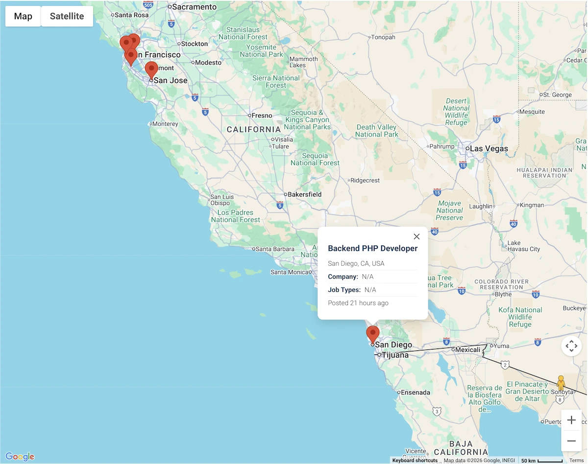
[wpjmgeo_jobs_mashup_map] – Display job listings on a map[wpjmgeo_resumes_mashup_map] – Display resumes on a map Example of a mashup map displaying multiple job listings. Configuring the Mashup Map The following shortcode attributes allow you to control which listings appear on the map and how the map behaves.
1. map_heightSet the height of the map container.
Supported values: CSS height values (e.g. 400px, 50vh)
Default: 350px
Example: map_height="500px"
2. map_widthSet the width of the map container.
Supported values: CSS width values (e.g. 100%, 800px)
Default: 100%
Example: map_width="80%"
3. map_typeChoose the map display type.
Supported values:
ROADMAPSATELLITEHYBRIDTERRAINDefault: ROADMAP
Example: map_type="SATELLITE"
4. max_locationsLimit the maximum number of listings displayed on the map.
Supported values: Positive integer
Default: 200
Example: max_locations="100"
5. show_filled_jobsInclude or exclude filled job listings from the map.
Supported values: 1 (show), 0 (hide)
Default: 0
Example: show_filled_jobs="1"
6. search_stateRestrict displayed listings to a specific state or region. You can use either the full state name or its abbreviation.
Supported values: State name or abbreviation (e.g. Florida, FL)
Default: Empty (no restriction)
Example: search_state="FL"
7. search_countryRestrict displayed listings to a specific country. You can use either the country name or its ISO country code.
Supported values: Country name or ISO code (e.g. US, United States)
Default: Empty (no restriction)
Example: search_country="US"
5. gesture_handling Controls how users interact with the map using scroll, touch, and trackpad gestures.
Supported values:
auto – Default Google Maps behaviorgreedy – Always capture scroll and touch gesturescooperative – Require modifier keys for zoomingnone – Disable all map gesturesDefault: auto
7. location_marker_url Custom marker icon URL for listing or entry locations displayed on the map.
Supported values: Valid image URL
Default: Plugin default marker
6. marker_clusterer Group nearby markers into clusters for better readability.
Supported values: 1 (enabled), 0 (disabled)
Default: 1
Shortcode Examples Display all job listings on a mashup map:
[wpjmgeo_jobs_mashup_map]Display job listings with a custom map size:
[wpjmgeo_jobs_mashup_map map_height="500px" map_width="80%"]Display only unfilled jobs within Florida:
[wpjmgeo_jobs_mashup_map show_filled_jobs="0" search_state="FL"]Display resumes restricted to the United States:
[wpjmgeo_resumes_mashup_map search_country="US"]Setting Up and Using the Mashup Map Ensure listings are geocoded: Job listings or resumes must have valid geolocation data.Insert the shortcode: Add the mashup map shortcode to any page or post.Customize attributes: Adjust map size, filters, and behavior as needed.Preview and refine: Test the map to ensure listings appear as expected.Helpful Links